The Story
Every place in the song. Every one.
Geoff Mack wrote the song in 1959. A few hundred Australians have probably hummed it in their car without ever wondering: do these places actually exist? And if they do, what are they really like?
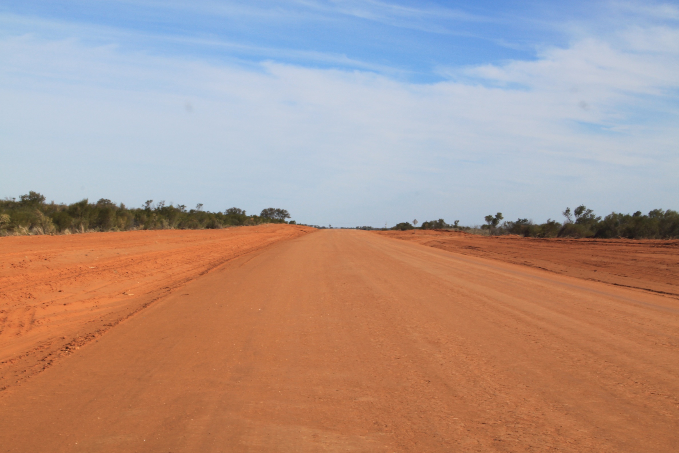
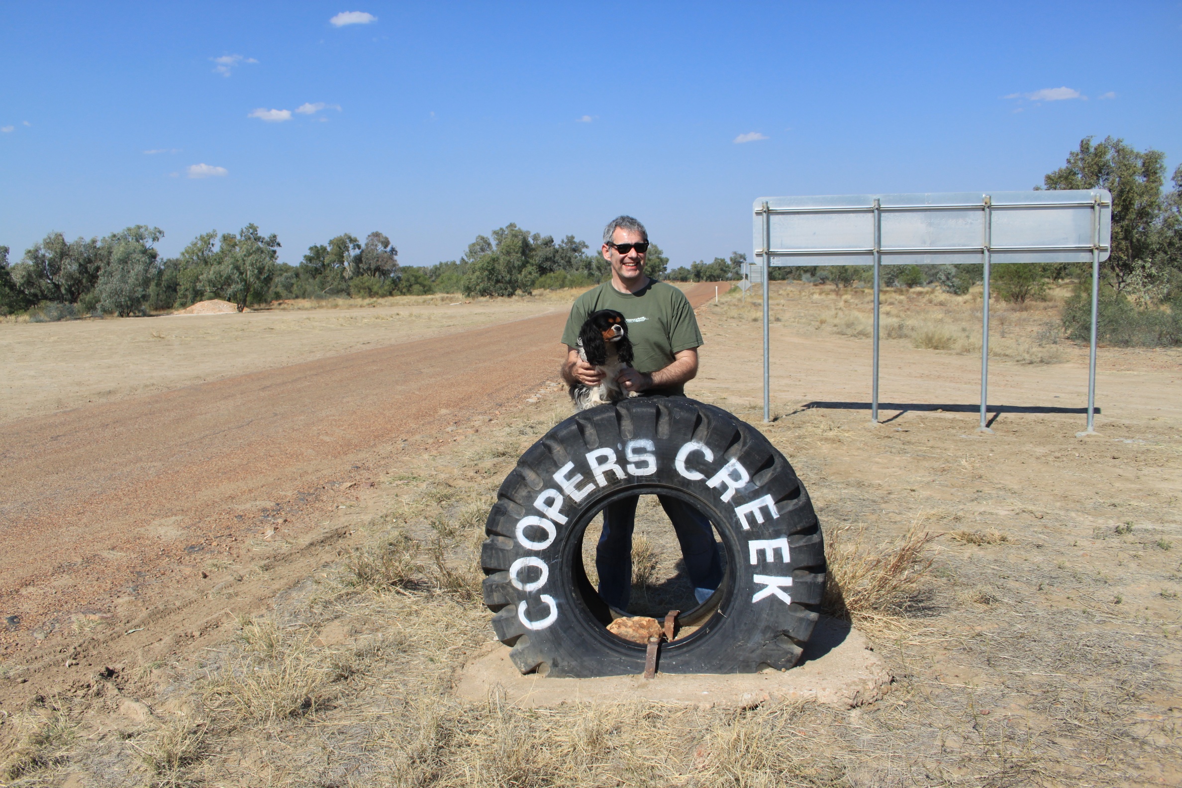
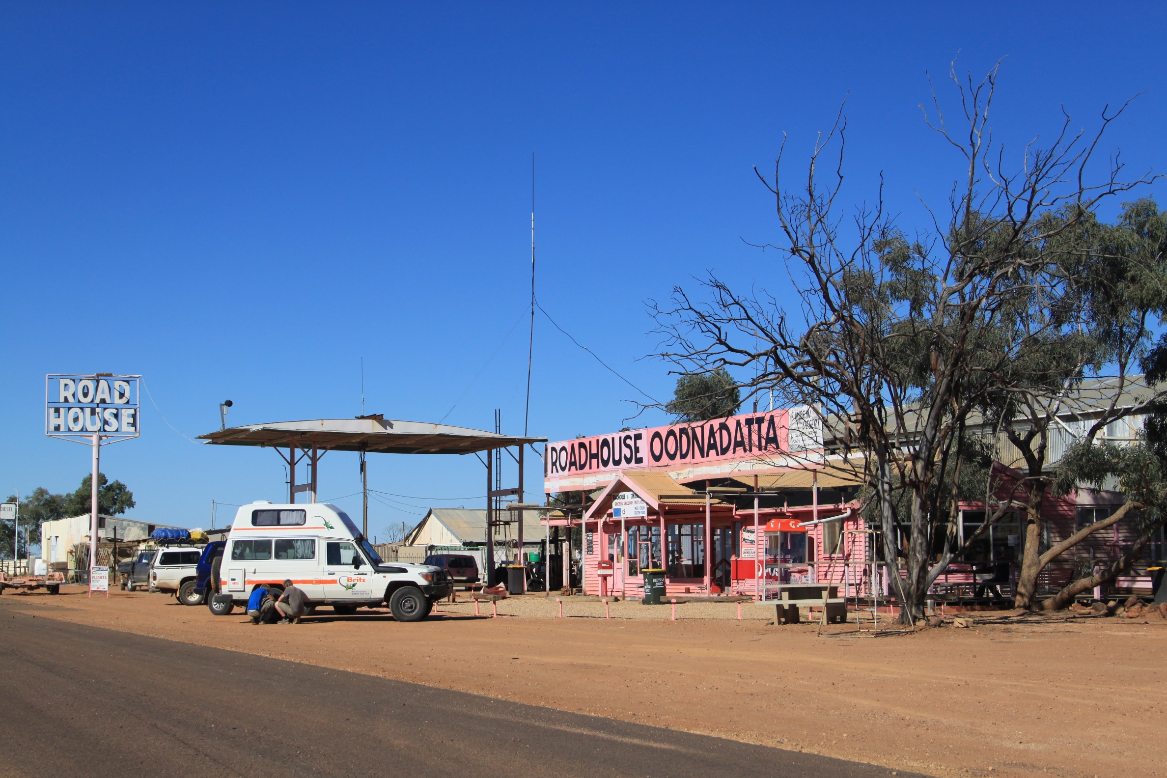
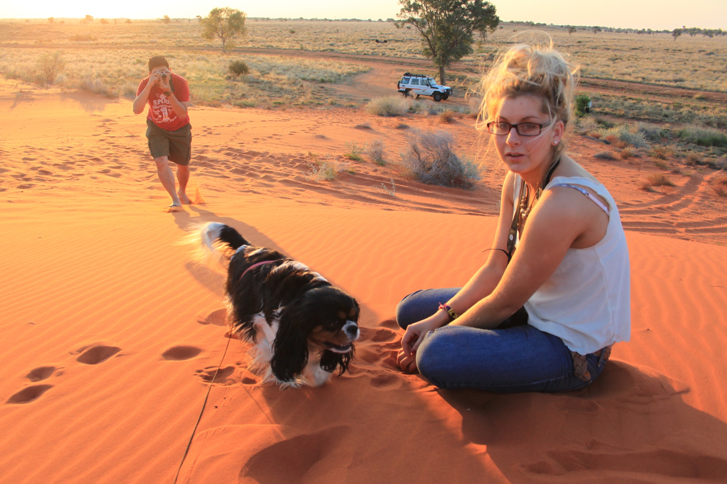
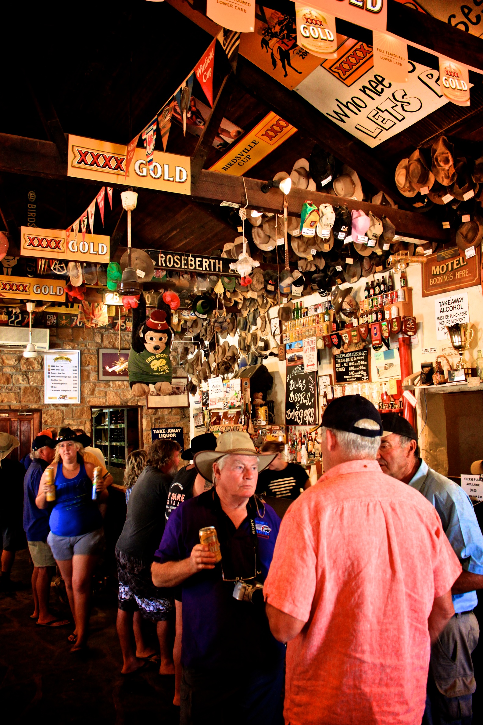
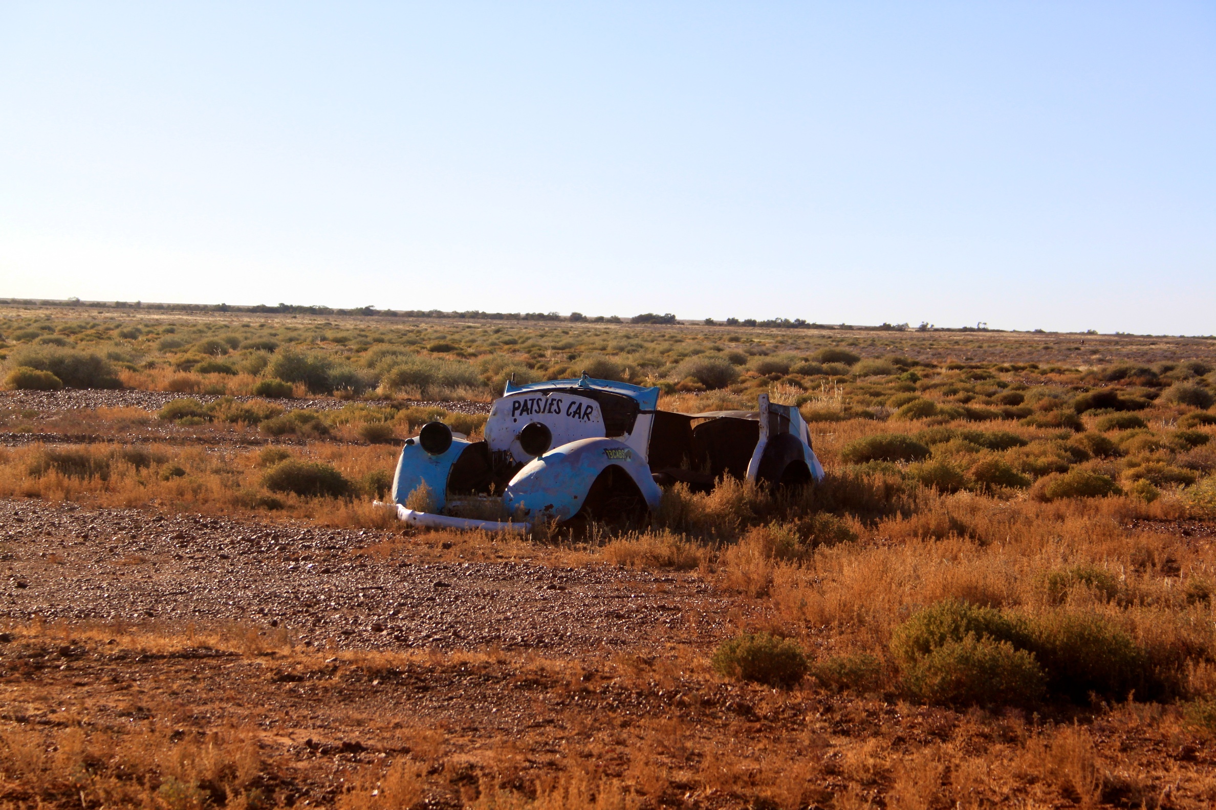
That question turned into a road trip. The road trip turned into this book. 374 pages of red dirt, weird museums, pub meals, one-dog towns, and big-hearted people in places the highway mostly skips past.
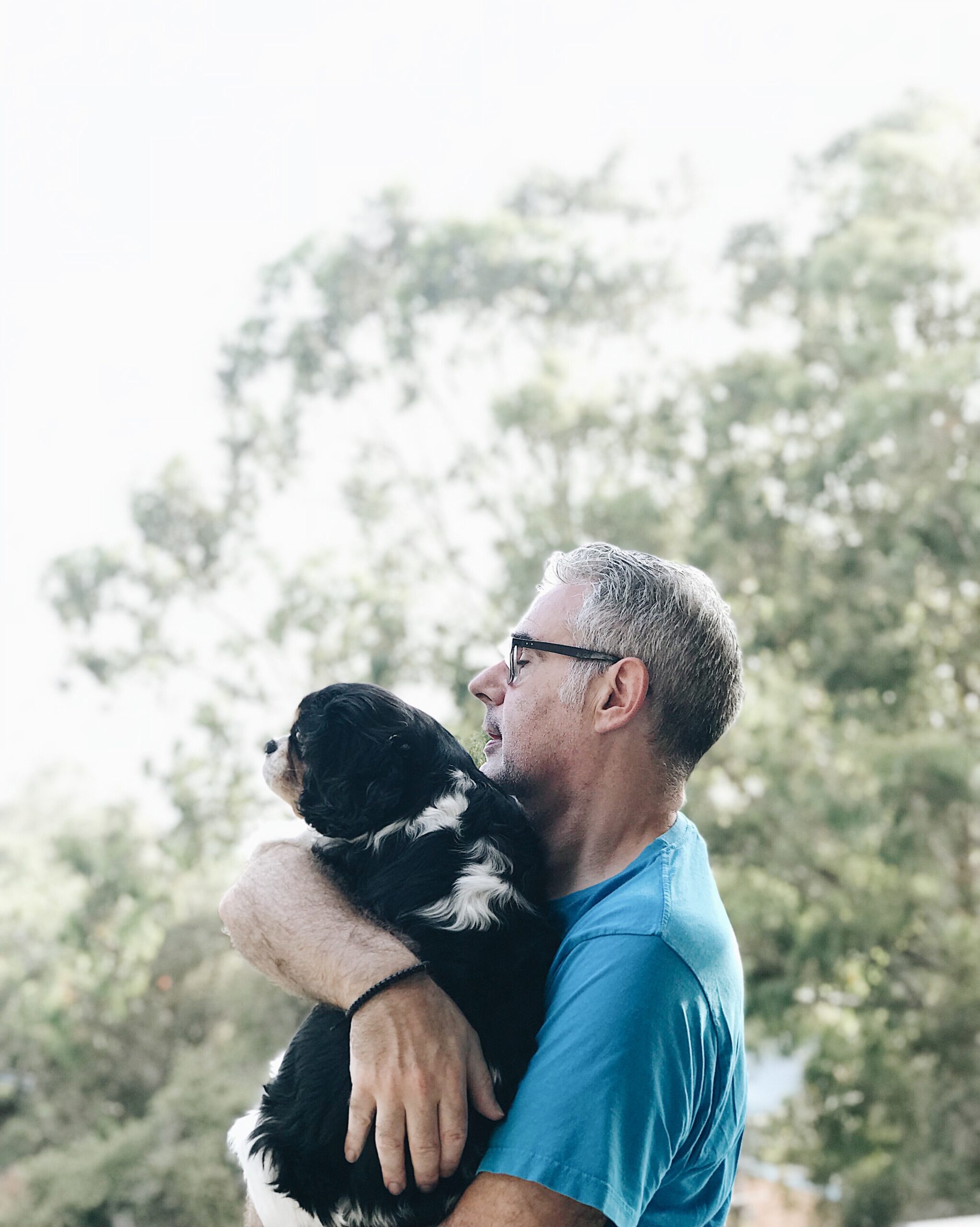
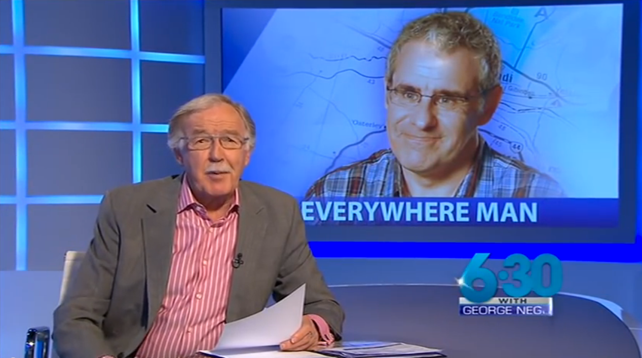
From Adelong to Yeerongpilly — all 94 of them, with a dusty VW, a very patient Cavalier King Charles Spaniel, and more kilometres than anyone really planned for. Along the way, he even tracked down Geoff Mack — the man who wrote the song — and thanked him in person.